
Ypsilanti Township Neighbor Sources
Immediate neighbors are best understood as a set of separately sourced relationships. MapWashtenaw shows parcel geometry and street context. The county parcel search can then associate a taxpayer with each selected parcel. The Register of Deeds can add a recorded-instrument trail, and community associations can provide public board or meeting contacts. None of these sources names every person at an address. Use the narrowest label the record supports, such as adjacent parcel, across-street parcel, same watch area, or same association.
| Block source | What it can show nearby | Access and limit |
|---|---|---|
| MapWashtenaw | Parcel polygons, street centerlines, aerials, natural features, topography, and surrounding geometry | Public reference viewer, not a legal survey or title search |
| Washtenaw County Parcel Lookup | Current parcel, taxpayer or owner clue, situs address, mailing address, legal description, values, and exemptions | Search one parcel or a modest street-number range; not a household roster |
| Register of Deeds | Recorded ownership instruments and legal descriptions for selected parcels | Public index and copy route; exact online cutoff is not verified |
| Township neighborhood map | Twenty-eight Neighborhood Watch areas and local community geography | Official 2016 map, not a resident directory or legal subdivision map |
| Community associations | Association boundary description, board contact, news, minutes, or meeting route | Public community information; no member roster was verified |
| Michigan Voter Information Center | Status and polling information for a supplied person | Person lookup only; no open block-by-street roster was verified |
Parcel and taxpayer fields need careful reading. The situs is the physical parcel. The tax-mailing address is where correspondence goes. A legal description identifies land through a lot, block, subdivision, or other deed language. A nonlocal mailing address may be useful context, but it does not show where a taxpayer lives. The same caution applies to a homestead exemption, which can be an owner-occupancy indicator at a point in time without naming all occupants.
MapWashtenaw for Township Neighbors
MapWashtenaw’s public viewer combines seamless tax parcels with street centerlines, aerial photography, natural features, topography, and government layers. Browse to a supplied address or road segment, then identify a nearby parcel polygon and carry the parcel number into Parcel Lookup or the deed index. The research did not capture the viewer’s exact button names, selection-panel labels, or measurement tools. Describe the action as identify or select a parcel, not as a guaranteed buffer feature.
The county warns that the map is reference material only. It is not a legal document, survey, title opinion, or substitute for professional measurement. Parcel boundaries can be misleading at a corner, shared drive, condominium property, water feature, or road right-of-way. A parcel that appears near another parcel may be across a public corridor rather than physically contiguous. Keep a source date beside each map observation.
Note: GIS geometry establishes a spatial relationship, while the parcel record and recorded instrument address different questions about land and ownership.
Map Ypsilanti Township Neighbors
A block workflow starts with one known address and follows parcel boundaries outward. It is more reliable than assuming that a row of house numbers, a map label, or an association name defines all nearby neighbors. Use a worksheet with one row per selected parcel and leave a field empty when the record does not supply it. The process below distinguishes map geometry from the ownership or contact trail.
- Open MapWashtenaw, locate the supplied address or road segment, and identify the parcel polygon and visible parcel number.
- Inspect polygons sharing a boundary or facing across the public right-of-way. Mark the relationship as touching, across-street, or uncertain when the map alone cannot resolve it.
- Search each parcel in County Parcel Lookup. Record situs address, taxpayer or owner clue, mailing-address distinction, legal-description clue, and source date.
- Where a deed question remains, use the Register of Deeds index with the legal description, parcel, grantor or grantee, and date range that the portal supports.
- Use a Neighborhood Watch or association label only as a community-contact route. It does not prove a person’s membership or present residence.
Street-number ranges can create a useful segment inventory, but the range is only a search convenience. Curving roads, parcels that face another street, shared situs addresses, and grouped units can break the apparent order. For a complete named-road workflow, use the Ypsilanti Township streets directory, which follows the address chain beyond the immediate block.
Ypsilanti Township Neighbor Parcels
Washtenaw County Parcel Lookup accepts parcel number, street name, street number, a from-and-to range, municipality, and taxpayer name. All form criteria are optional, but a usable search criterion is needed. Select Township Of Ypsilanti to avoid folding City of Ypsilanti parcels into a township comparison. For a street, enter the street name without its suffix. For a taxpayer search, use last name first. A known parcel number follows the displayed 12-character pattern with spaces.
Do not equate a parcel result with every neighbor at that location. Condominiums and larger multi-unit properties can be represented through one parcel or association record, while individual units may need their own public record path. A public result can describe the parcel’s legal or tax identity without identifying a full set of current household members. When a parcel has an unclear relationship to the supplied address, compare the legal description and geometry before calling it adjacent.
Recorded deeds offer another way to test a relationship. Start with the current parcel number and legal description, locate the acquisition instrument where the index supports it, then follow the grantor or prior grantee with spelling variations. Preserve the instrument number, recording date, grantor, grantee, and document type if the actual index exposes them. The county says its index is a finding aid rather than the underlying document.
Ypsilanti Township Neighbor Watch Areas
The township’s 2016 Neighborhood Map uses 28 Neighborhood Watch areas instead of a simple ward map. Its labels include West Willow, Gault Village, Roundtree, Ford Lake-area communities, manufactured-home parks, apartment and condominium communities, and the South District. This is a useful local vocabulary when an address or association notice uses one of those names. It is not a legal parcel layer, a precinct map, or a resident roster.
Township Neighborhood Watch is coordinated through the Supervisor’s office. The published contact is nhw.info@ypsilantitownship.org or 734-544-4000 ext. 5. Meetings connect residents with township representatives and a Washtenaw County Sheriff deputy around health, safety, resources, and events. They offer a human contact route without publishing neighborhood member names.
The City of Ypsilanti neighborhood list is a useful boundary warning.
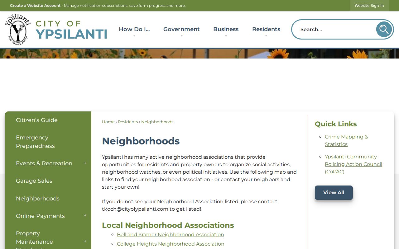
City-side associations should not be assigned to Ypsilanti Township parcels without checking the municipal boundary and the parcel record.
Ypsilanti Township Ford Lake Neighbors
Ford Lake Village Property Owners Association is a 205-property community between Huron River Drive and Textile Road, east of Ford Heritage Park. Its public materials can help identify the association’s geographic layer, documents, newsletters, minutes, and contact route. The research did not identify a public member directory. Use the association’s published information to ask about an archive or a meeting, not to infer who belongs to a particular parcel.
| Community route | Verified public information | Contact or boundary |
|---|---|---|
| Township Neighborhood Watch | Map areas 1 through 28 and meeting coordination | nhw.info@ypsilantitownship.org, 734-544-4000 ext. 5 |
| Ford Lake Village | Association documents, newsletters, and minutes; no public member directory verified | admin@fordlakevillage.com; Huron River Drive to Textile Road, east of Ford Heritage Park |
| Lincoln Neighborhood Watch | Bimonthly second-Monday meetings at the Civic Center; not a public household list | 734-328-4842 |
| Greene Farms | Three associations plus a recreational-facilities association; board and business contact route | Community information, no public member directory verified |
Ford Lake Village’s public association page identifies the community context.
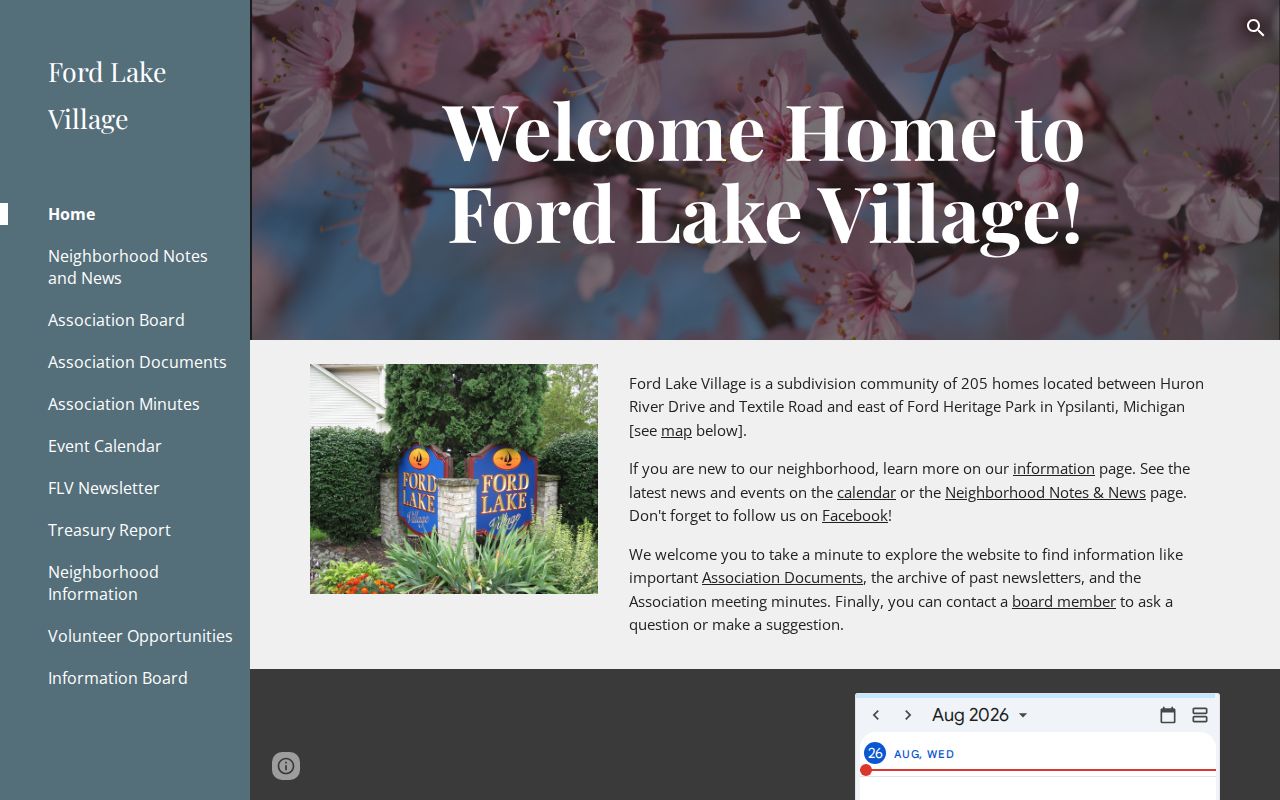
The association material belongs to the community-contact layer, distinct from the county’s parcel and recorded-instrument data.
Ford Lake Village neighborhood information provides a second public view of that association layer.
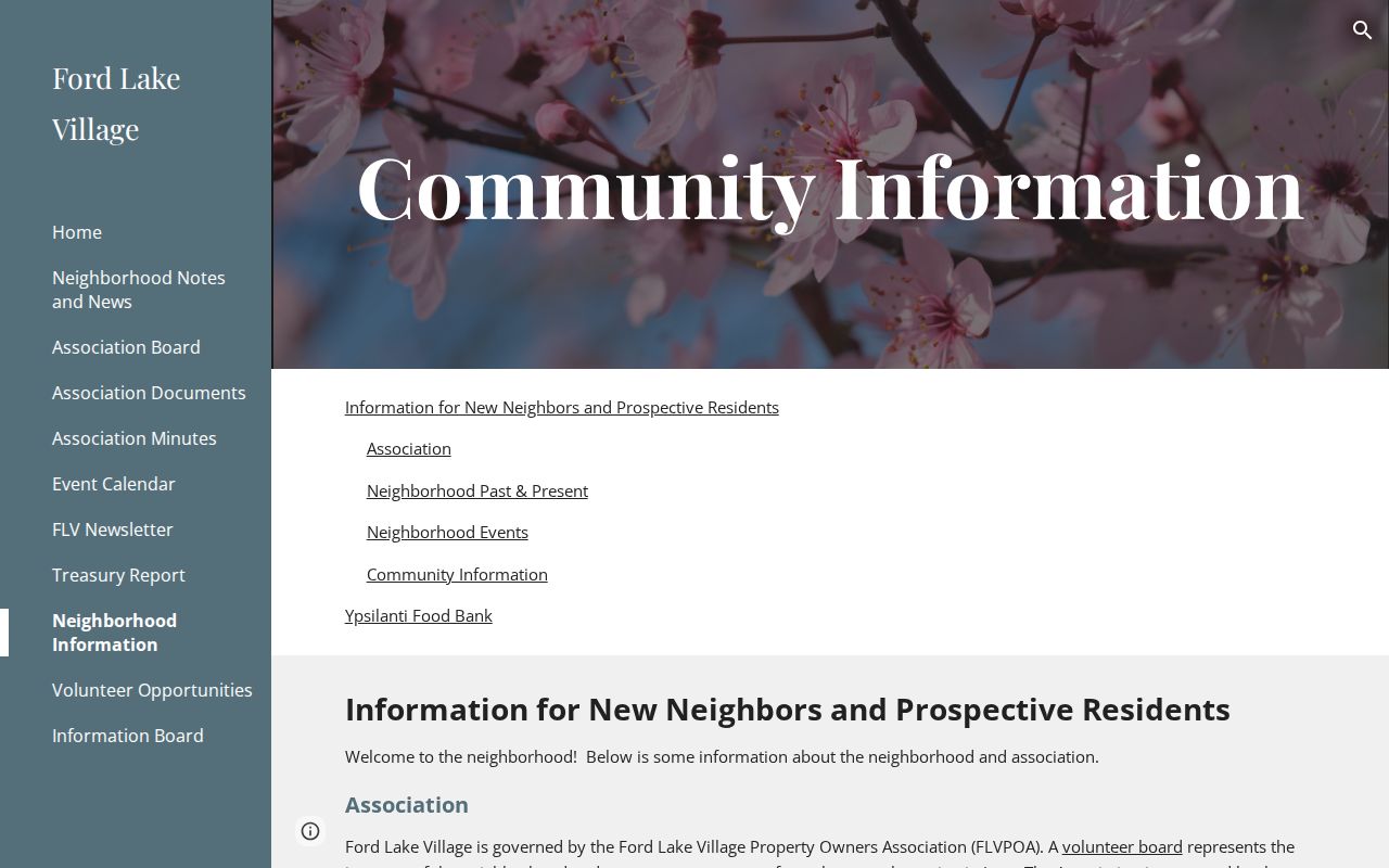
Private association information can explain boundaries and contacts without authorizing publication of a private roster.
Ypsilanti Township Greene Farms Neighbors
Greene Farms is a 776-property community with three associations and a Recreational Facilities Association. The recreation association is for people who live within Greene Farms. Public community and board information can identify the association structure and a business-contact route, but the research found no public member directory. Treat the name as community geography, then research each legally distinct parcel or unit only through a source that actually supports it.
Greene Farms community information describes the association context.
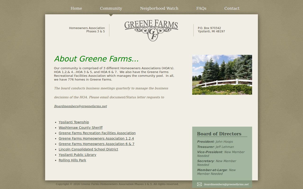
The community presentation identifies an association layer, which is different from a parcel-by-parcel ownership record.
Greene Farms recreation association information describes the recreation-side organization.
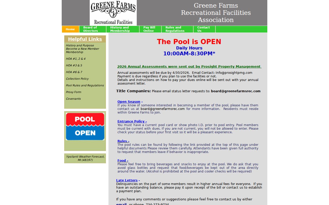
Association access rules and community facilities do not establish a list of the people who live at nearby addresses.
Ypsilanti Township Neighbor Tools
Official records and compiled people-finder products serve different purposes. The official side keeps the source, date, and boundary visible, which makes it easier to distinguish a parcel owner from a person living there. A compiled category can combine public filings, address histories, and licensed data. That can produce a lead, but it may be stale, duplicated, or attached to the wrong person. It cannot overcome protected-address rules or turn an association contact into a resident list.
| Question | Official local route | Compiled people-finder category |
|---|---|---|
| Which parcels are physically nearby? | MapWashtenaw parcel geometry, with its reference-only warning | May show an address history but not a verified adjacent-parcel relationship |
| Who is tied to a selected parcel? | Parcel search and deed index, with situs and mailing address read separately | May merge taxpayers, prior addresses, and similarly named people |
| How can a block contact a community group? | Published Watch or association contact and meeting route | Cannot supply a legitimate private membership list |
For a historical neighbor, YDL directories and Ypsilanti Historical Society street-location material are a separate route. A directory entry says who was printed at an address in that edition year. It does not establish present residence or title, and a person absent from an edition is not proof that the address was empty.
Ypsilanti Township Neighbor Privacy Limits
Michigan voter records have a public and protected split. MVIC is built to check a supplied person’s status, not to browse everyone at a block. The Secretary of State withholds driver or state-ID numbers, month and day of birth, phone, email, signatures, and other protected fields. The research did not verify an open voter-by-street tool or a public street-level export. Do not fill that gap with a guessed list.
Michigan’s Address Confidentiality Program provides a substitute address and mail forwarding for eligible participants. A protected address, sealed or expunged court matter, restricted vital record, or private community roster must remain protected. Public utility and delivery data are not a neighbor-search source. If a result seems to conflict with a protected service route, retain only the safe conclusion that the address is protected or uses an alternative route.
Lawful use. Use neighbor records for personal, lawful research, community contact, or safety awareness. Repeated unwanted contact, harassment, intimidation, or stalking can violate Michigan law, including MCL 750.411h and MCL 750.411i.
Note: The safest block description names the source and relationship, such as adjacent parcel or same association, rather than claiming a complete list of neighbors.