
Ypsilanti Township Street Directory Workflow
The most reliable Ypsilanti Township street directory workflow begins with the county parcel index, not with an assumed household list. A parcel result can supply the situs address, the physical location of the land, a taxpayer or owner clue, and a parcel number. Those are different facts. The taxpayer mailing address can be elsewhere, so it should never be treated as proof that the taxpayer lives at the Ypsilanti Township address. Use the county municipality choice before comparing results, since the City of Ypsilanti and the township are separate jurisdictions that share a postal name.
- Open the Washtenaw County Parcel Lookup and select Township Of Ypsilanti when the municipality field is used.
- Enter the street name without its suffix, add a number or a modest From and To range, and review the returned parcels one at a time.
- Carry a parcel number to MapWashtenaw to compare the street segment with parcel geometry and nearby roads.
- For an ownership trail, use the parcel and legal-description clues in the Washtenaw Online Land Record Search, then check the underlying document when available.
- Use a historic directory or street-location collection only as a dated address snapshot, not as a current household list.
Each step answers a narrower question. The parcel index identifies county property data. The map places it. A deed can identify a recorded ownership transaction. A printed directory can show who was listed at an address in its edition year. None of those sources alone establishes every person living on a street today.
Search Ypsilanti Township Street Parcels
Washtenaw County’s Parcel Lookup is the main current-property route for a Ypsilanti Township street search. Its form does not offer a township-wide resident browse. Instead, all listed criteria are optional, but a usable search criterion is needed. Street Name is entered as the name only, such as Main rather than Main Street. Street Number and a From and To range let a researcher examine a segment without presuming that the results form a complete resident roster. Taxpayer Name uses a last-name-first instruction.
| Parcel Lookup field | Entry format | Street-directory use |
|---|---|---|
| Parcel Number | Optional 12-character key with spaces, XX-XX-XX-XXX-XXX | Use when a map or prior result supplies the county parcel key. |
| Street Name | Optional name only, no suffix | Start a road search with the road name as the county instructs. |
| Street Number | Optional number | Narrow the street result to a known situs address. |
| Range of Street Numbers | Optional From and To boxes | Review a short road segment, then compare it to GIS parcels. |
| City, Village, or Township | Optional select | Choose Township Of Ypsilanti, not City Of Ypsilanti. |
| Taxpayer Name | Optional, last name first | Start with an owner clue and compare the returned situs address. |
Assessment information can answer questions about legal description, lot size, assessed and taxable values, exemptions, personal property, and tax estimates. The research did not capture a rendered parcel-result card, so it does not establish every field that appears after a search. Detailed assessment records are available by appointment, and forms or correction requests can be sent to the township by its documented routes.
MapWashtenaw for Township Streets
MapWashtenaw’s public viewer combines seamless tax parcels, street centerlines, aerial imagery, natural features, topography, and other government layers. Browse to a road segment, identify a parcel polygon, and record its parcel number or legal-description clue before moving back to a county record. The county describes this material as reference information, not a legal survey, title search, or substitute for professional measurement. Exact identify-button and attribute-panel labels were not captured in the research, so no particular click path is promised here.
MapWashtenaw parcel-viewer source
Parcel geometry helps distinguish a road-facing address from an adjacent parcel, but it does not establish occupancy or a legal boundary.
Maps also help resolve corner lots, shared drives, condominium parcels, and roads that bend away from parcel order. A street range is a practical search tool, not a legal definition of a block. Where a map label and an address seem to conflict, compare the situs address and legal description rather than inferring an answer from the nearest road label.
Ypsilanti Township Address Record Coverage
Address-keyed records are useful because they connect different county systems, but their coverage differs. The parcel lookup is current administrative property data. MapWashtenaw provides geography. The Register of Deeds keeps recorded instruments. Permit and inspection records may describe work at a site. The following records table preserves those distinctions instead of turning each one into a claim about every person at an address.
| Address record | Custodian | Street-connected clue | Access and limit |
|---|---|---|---|
| Parcel/property lookup | Washtenaw Equalization/Treasurer | Current parcel, taxpayer or owner clues, situs, legal description, values, exemptions, and lot size | Public lookup; current-data scope and result-card details were not stated. |
| Tax and delinquency route | Washtenaw County and BS&A | Tax account and delinquency search route | BS&A provides Address, Name, and Parcel Number modes; exact historical coverage was not stated. |
| Recorded instruments | Washtenaw Register of Deeds | Grantor, grantee, recording metadata, and legal-description trail | Public search is free; copy purchase requires login, and the online cutoff was not located. |
| GIS parcels and layers | Washtenaw GIS | Parcel geometry, street centerlines, aerials, and terrain context | Public reference viewer, not legal title or survey evidence. |
| Permits and inspections | County and township routes | Site or work-history clues for building, well, septic, inspection, and soil erosion records | County search route; township local link was unavailable during research. |
| PRE or homestead | Township Assessment | Owner-occupancy indication at a point in time | Not a complete occupancy roster and not proof of continuous residence. |
A parcel number is the strongest bridge between the property roll, map, and deed research. The street name connects the search inputs, but a legal description can remain stable when an address changes. Keep the parcel, legal description, situs, mailing address, and source date as separate notes for each result.
Deeds Behind a Township Street
For the recorded ownership trail, begin with a current parcel number and legal description. In the Register of Deeds index, look for the current owner’s acquisition document, then read the grantor or seller and the legal description. Search that prior party as an earlier grantee and repeat as the evidence permits. A plat is a recorded map that can link a subdivision lot or block to its legal identity. The legal description is often a more durable bridge than a street address.
The Online Land Record Search disclaimer says the index is a finding aid, much like a card catalogue, and is not the underlying document. It can change. The county advises spelling variations and as many search criteria as possible. Research did not establish a live field list, an exact online start date, image availability, or a copy price, so a missing web result should lead to an office inquiry or records request rather than a conclusion that no instrument exists.
Washtenaw Register of Deeds index-disclaimer source
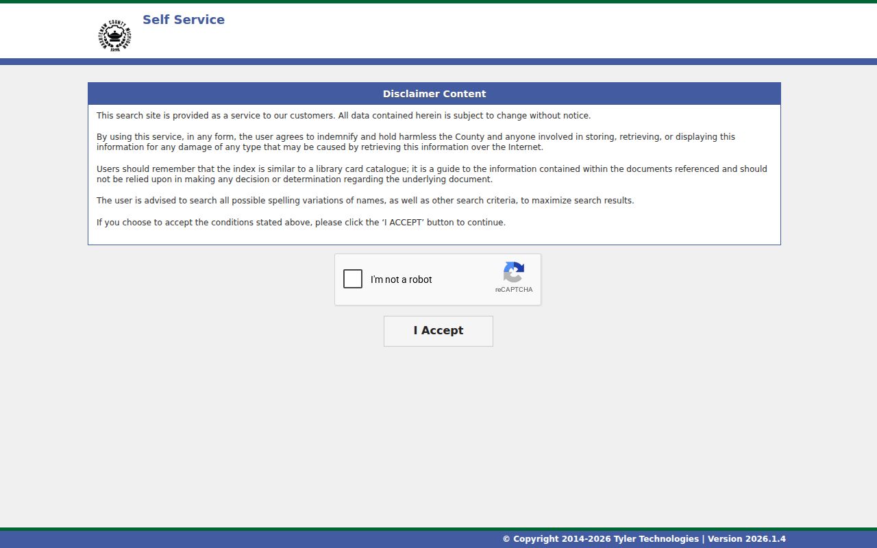
The acceptance page is a reminder to treat the index as a path to a document, then verify the document and legal description before relying on a name connection.
Permit Fallback for Township Streets
One local quirk matters when a street search reaches building history. Ypsilanti Township’s Building page linked a Building Permit Search that returned a 404 during inspection. That failed township link does not mean a property lacks a permit. The documented fallback is the county route for building, well, septic, building inspection, and soil-erosion records. The county’s permit guidance says the best results generally come from entering the street number first and then selecting Search.
Permit records may record a project, inspection, site, or contractor, rather than everyone who used a building. They are useful for dating alterations such as heating, plumbing, electrical, or final approvals, but they do not establish a household history. If the online route is incomplete, use the Washtenaw records and reports hub or a focused request that names the address, record type, and date range.
Washtenaw County permit-search source
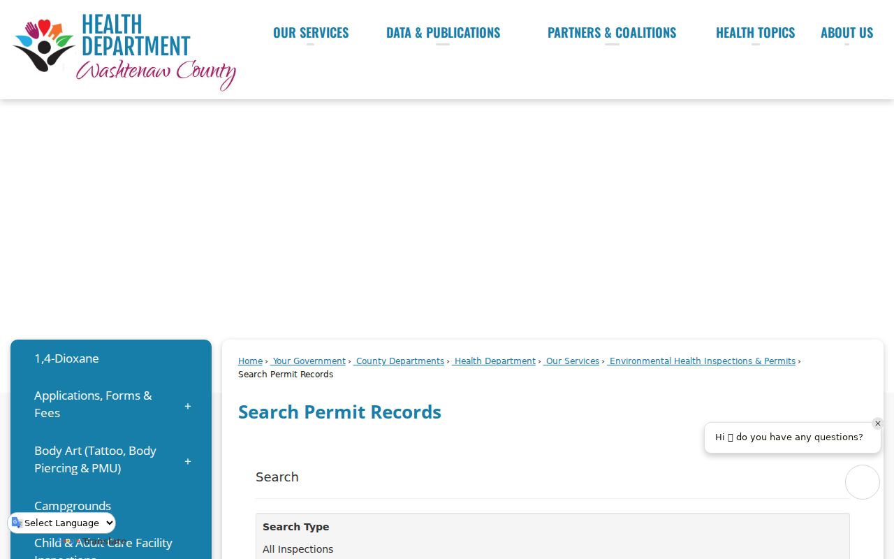
The county permit route is the documented alternative when the township-linked search is unavailable.
Ypsilanti Township Street Directory Terms
Street research works best when each address label stays separate. The county uses a parcel number as an index key, while recorded deeds and plats may use a subdivision, lot, block, or metes-and-bounds legal description. A historic street directory can add an older printed name and address, but it is a dated entry, not an ownership record. This vocabulary keeps a one-street search from joining unrelated pieces of evidence.
- Parcel
- A defined unit of land in the county property system, identified here by a 12-character parcel-number format that includes spaces.
- Situs address
- The physical address of the parcel. It differs from the taxpayer mailing address used for tax notices or owner correspondence.
- Legal description
- The recorded land identity, often using a lot, block, subdivision, or metes-and-bounds description. It can bridge a changing street address.
- Plat
- A recorded map that helps relate streets, blocks, lots, and subdivision descriptions.
- Street-location directory
- A historic collection organized around addresses or streets; it reports what was printed for a particular edition, not a complete current list.
Note: A mailing address outside the township can be a tax-contact clue, but it does not show that the taxpayer resides at the township situs.
Ypsilanti Postal City Boundary
Ypsilanti Township street results need a jurisdiction check because three labels can point in different directions. The Township of Ypsilanti is not the City of Ypsilanti, yet both can use the mailing city Ypsilanti. The county parcel selector expressly distinguishes the township from the city. Postal ZIPs 48197 and 48198 also serve the Ypsilanti area, but a ZIP or mailing-city line does not prove municipal jurisdiction. Compare the municipality field and GIS parcel boundary before treating a result as township-based.
This difference is more than a naming detail. It affects the proper tax, court, precinct, neighborhood-watch, and local-office context for an address. The same approach prevents a city-side association or a postal-address hit from being mapped onto a township parcel. For ZIP-specific checks, use the Ypsilanti Township ZIP code directory after confirming the individual address.
Ypsilanti Township Street History
For an older address, use present property records to establish the parcel and legal description first, then consult historical address sources as separate dated evidence. The Ypsilanti District Library Heritage Room holds Ypsilanti city directories dating to 1913, newspaper microfilm from 1864 through 2010, yearbooks, maps, photographs, and clippings. The Ypsilanti Historical Society also identifies street-location material, city and county directories, tax-roll, obituary, cemetery, government, and organization collections.
Those resources are strong leads, but the research did not verify a complete reverse or criss-cross directory run for township streets. Modern ZIPs also postdate old directory entries. Search the street name and number as printed in the historical source, retain its city or township label, and map the current address separately. A historical absence is a gap in that edition, not proof that a property was empty.
Limits of Ypsilanti Street Results
A street directory can show property and address evidence, not a guaranteed list of people at every location. County assessment data can include owner or taxpayer clues, physical property facts, and an exemption signal. PRE or homestead may indicate an owner-occupancy claim at a point in time, but it does not identify every occupant. The Michigan Voter Information Center is a supplied-person lookup, not a verified public browse of all voters on a street, and protected fields are withheld.
Michigan’s Address Confidentiality Program provides qualifying participants with a designated substitute address and mail forwarding. Do not attempt to defeat that protection through parcel, map, voter, or historical sources. A no-result in the parcel, deed, permit, or voter route can reflect search syntax, access limits, a changed address, a protected record, or an online coverage gap.
Ypsilanti Township Street Requests
When the online trail stops, a focused request is more useful than an open-ended name search. Washtenaw County’s records routes include building, SESC, well, septic, accident-report, certified-vital, and Michigan Freedom of Information Act requests. For an address-based request, identify the office, situs address or legal description, parcel number when known, record type, and date range. The state access law is the Michigan Freedom of Information Act, MCL 15.231 et seq.
Washtenaw Register of Deeds office information in the state register list identifies its location as 200 North Main Street, Suite 110, P.O. Box 8645, Ann Arbor, MI 48107-8645, with telephone number 734-222-6700. The research did not establish a county recorder online cutoff or a full public historical tax-roll download. Ask the custodian about the specific record rather than treating an incomplete web index as the end of the address trail.